THE INITIAL PLANNING

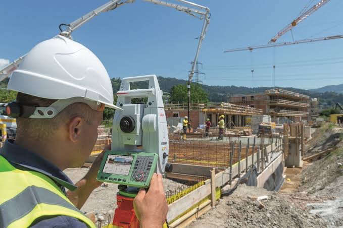
The initial planning stage of land surveying is the foundation of every successful construction and development project. It involves understanding project requirements, reviewing site conditions, collecting existing land records, and identifying legal boundaries. Professional surveyors carefully plan the survey method, select the appropriate equipment, and establish accurate control points to ensure precise measurements. This process helps minimize errors, reduce project risks, and improve overall efficiency. Proper initial planning provides reliable data for architects, engineers, and contractors, enabling informed decision-making and ensuring that every project begins with accuracy, compliance, and confidence from the very first step.

FROM START TO FINISH

We provide complete land surveying solutions from start to finish with accuracy, reliability, and modern surveying technology. Our services include site reconnaissance, boundary surveys, topographic surveys, GPS and total station surveys, construction layout, leveling, contour mapping, road and infrastructure surveys, quantity calculations, as-built surveys, and final project verification. We work closely with engineers, architects, contractors, and property owners to ensure precise measurements and timely project completion. Whether your project is residential, commercial, industrial, or infrastructure-related, our experienced survey team delivers professional, cost-effective, and high-quality surveying services that meet industry standards and client requirements.